How Climate Change is Affecting Ocean Currents in the North Water Polynya
How Climate Change is Affecting Ocean Currents in the North Water Polynya
Ruth Teichroeb
November 19, 2024
Welcome back to the Ice Bridge, a series about the importance of the North Water Polynya. Through interviews with experts in Canada and Greenland, we’re learning more about one of the Arctic’s most fascinating ecosystems.
Between Devon Island and Ellesmere Island, on the western edge of the North Water polynya, researchers are studying changes in deep ocean currents and how these waters may impact the melting of glaciers and the productivity of the marine ecosystem.
The interdisciplinary team of scientists, based out of the hamlet of Ausuittuq, Nunavut, or Grise Fiord, is working in partnership with the community to monitor how climate change is affecting ocean properties and circulation in Jones Sound and the effects that may have on the region, including the North Water polynya.
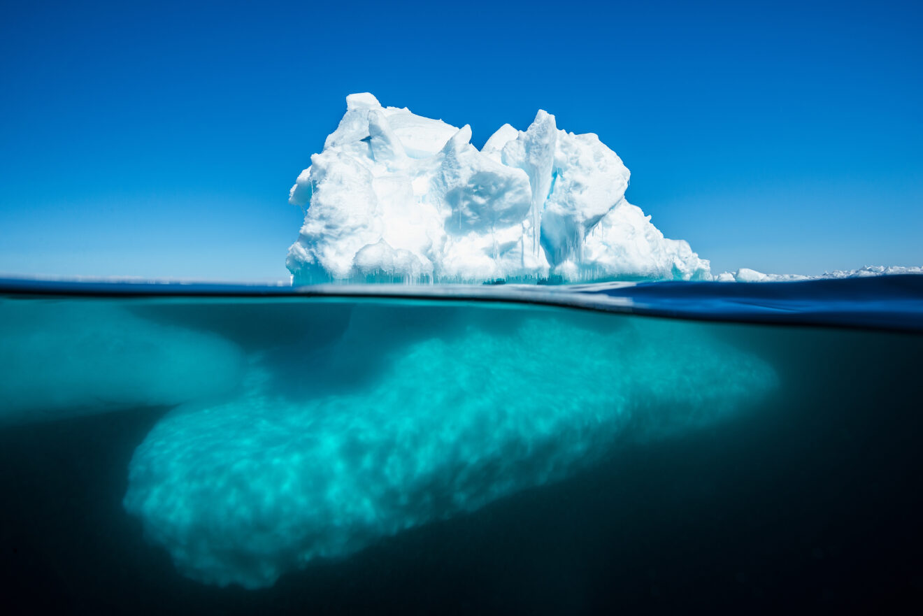
“The ocean in this region is like a layer cake,” says Andrew Hamilton, an Arctic oceanographer from the University of Alberta, conducting field research in Jones Sound and compiling long-term data about climate-related shifts in northern Baffin Bay. “There is a very cold top layer that’s fed by the Arctic Ocean’s southward flow. Beneath that is a warmer, saltier mass of water from the Atlantic Ocean which flows north along the west coast of Greenland following contours in the seabed. The North Water marks an important location where these two distinct waters meet.”

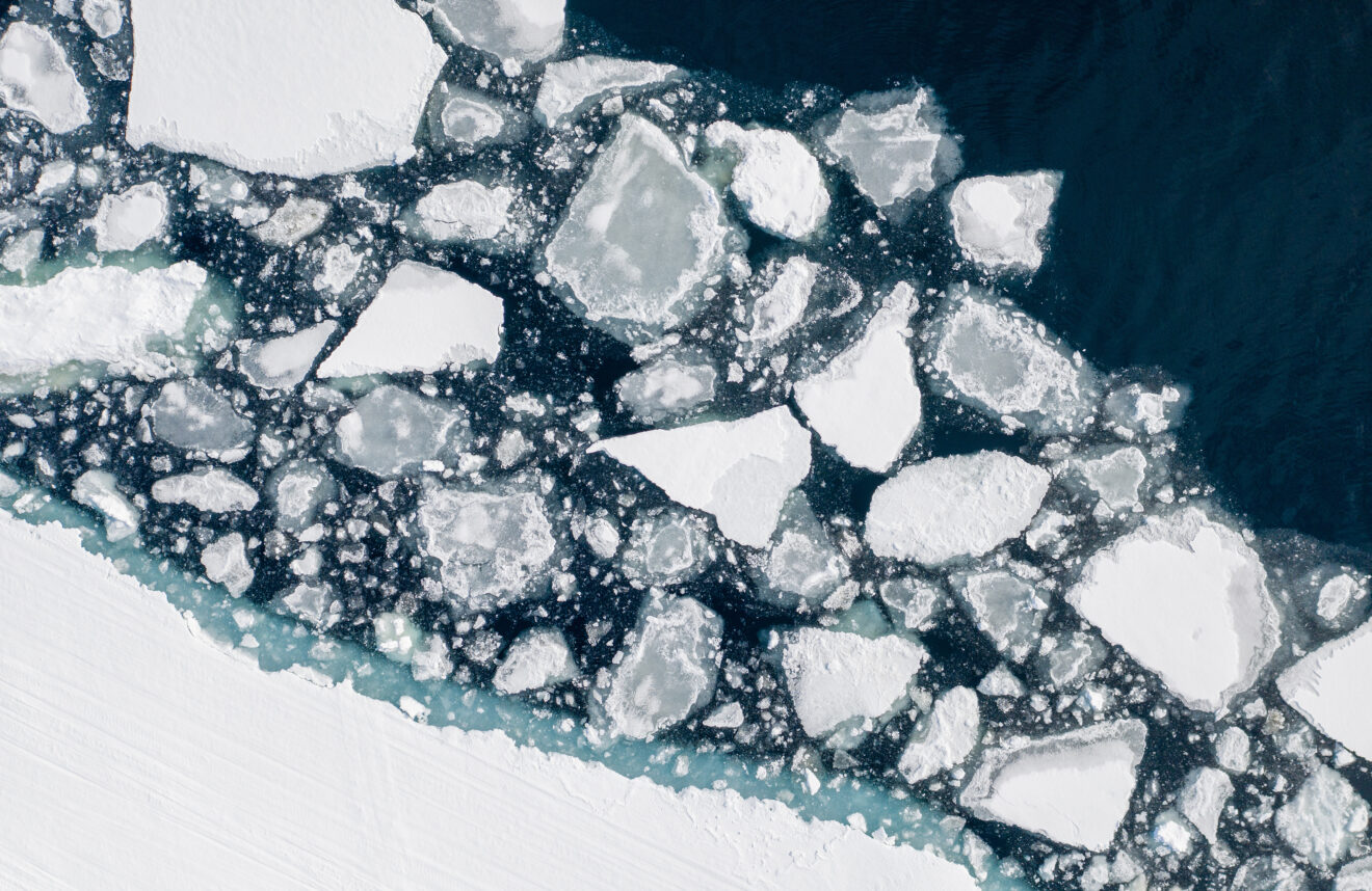
Image – Melting ice near Sirmilik National Park on Bylot Island. Pond Inlet, Nunavut, Canada
Here, warm Atlantic water flows underneath the cold Arctic layer, and the seabed guides the current to circulate west and south into the Canadian Archipelago. Hamilton’s research is mapping the extent of the Atlantic layer, including its temperature, depth, and how its properties have changed over time—changes that he said are “substantial.”
For the fieldwork, researchers use a scientific instrument called a CTD, which stands for the conductivity-temperature-depth profiler. The CTD is lowered with a winch through the water column to the seabed while recording temperature and salinity data which is later downloaded onto a computer. When the data is plotted, the researchers can visualize what is happening to the layers of ocean water that are otherwise hidden deep below the surface. At the same time, water samples are collected at each site in Jones Sound to measure nutrient concentrations and plankton communities and gain a better understanding of the chemical and biological processes affecting the ecology and productivity of the region.
Over the last four years, local Inuit partners have joined the research team, leading research sampling year-round, taking CTD measurements and water samples, and filtering water samples in the community lab. Hamilton said Terry Noah, who runs an outfitting company in Grise Fiord, is an integral part of the current research project.
“Terry has been a real asset to the program. He’s figured out how to do sampling all year round, including in the darkness of winter,” Hamilton said.
The problem is that field research becomes very difficult in extreme subzero temperatures, snowstorms and darkness. The CTD instruments can freeze up, producing unreliable data. But Noah invented a special covered qamutiik which holds three people, is heated, and has a hole drilled in the bottom to allow them to cut through the sea ice and lower the CTD.
“Using his invention, Terry and the team were able to collect samples last January in minus 35-degree temperatures in a blizzard,” Hamilton said. “It’s a pretty rare feat in any part of the Arctic to do that!”

After sampling trips, Noah downloads the data and emails it to Hamilton, who does a preliminary analysis before discussing the results with him and resolving any problems that have arisen.
“It’s been a very rewarding process for everyone involved,” Hamilton said. “The ultimate goal of our project is to set the community up so they can continue research independently, in collaboration with us or by pursuing their own research questions.”
Researchers are also exploring ways to share the data with the community, from creating a gymnasium-sized floor map illustrating the sampling sites in the region to handing out flip books with summaries of their findings.
Being able to sample all year has expanded the data available for the project. Between 2019 and 2022, research on community-led vessels completed 164 of the total 443 CTD casts and collected 117 of the 415 samples of water. Many of these community-led samples were collected in the fall, spring, or winter, helping correct a seasonal summer sampling bias that is present in almost all historical data.
In addition to the field research, Hamilton has compiled a large data set of existing ocean observations from Baffin Bay and the Canadian Arctic between 1918 and 2022 to find out how the properties and distribution of the Atlantic layer may have changed over time, including how recent climate change has impacted the ocean. He has compared these historical observations to data produced by ocean modelling research in the region led by Paul Myers, an Earth and Atmospheric Sciences professor at the University of Alberta.
“What we’re finding is a substantial warming in the core water of the Atlantic layer over time,” Hamilton said, adding that the most significant warming trend was between 2000 and 2016. “We’re also finding the Atlantic waters are shallower over time.”
A warmer, shallower Atlantic layer has the ability to increase the melting and retreat of tidewater glaciers and affect sea ice formation and upwelling in areas like the North Water polynya, he said. Shifts in the vertical distribution of the layers in the ocean could result in different nutrients being mixed to the surface in the upwellings, with yet unknown impacts on the biological productivity of the North Water.
One major hurdle for researchers is that much of the seabed in the Canadian Arctic is either poorly mapped or completely uncharted. Hamilton said that knowing the depth of the seabed and its topography is especially important for modelling the deep, terrain-hugging ocean currents like the Atlantic layer. For example, Talbot Inlet, a body of water on the eastern shore of Ellesmere Island that opens into the North Water, has two significant glaciers which have accelerated in the past decade and now produce over 50 percent of all icebergs in Canada. One hypothesis for this retreat is that warm Atlantic water is melting the termini of these glaciers at depth. Yet, at the start of the study, no depth measurements existed for the inlet, so it was unknown if the subsurface Atlantic layer could even reach these glaciers.
“I went out on a sailboat and skidoo to take depth soundings and found depths of 500 to 600 metres in the inlet – much deeper than the 100 metres that appeared on some hydrographic charts,” Hamilton said. “This finding has provided a possible pathway for the warmer Atlantic water to propagate right to the face of the glaciers and might be an important factor in driving the retreat of these glaciers.”
He said the ongoing community-led field sampling and historical data analysis provide a means to understand how the Atlantic water layer changes on time scales from seasons to decades and allow us to look forward to seeing what the future might bring.
Want to learn more? Find the other stories in the Ice Bridge series here, or watch this video to learn more about how the polynya works.
Ruth Teichroeb is a regular contributor to Oceans North and former communications director. She is based in Sidney, B.C.
