A New Way to Track Arctic Vessels
The team loads remote ship-tracking equipment in Cambridge Bay, Nunavut.
Credit: Trevor Taylor
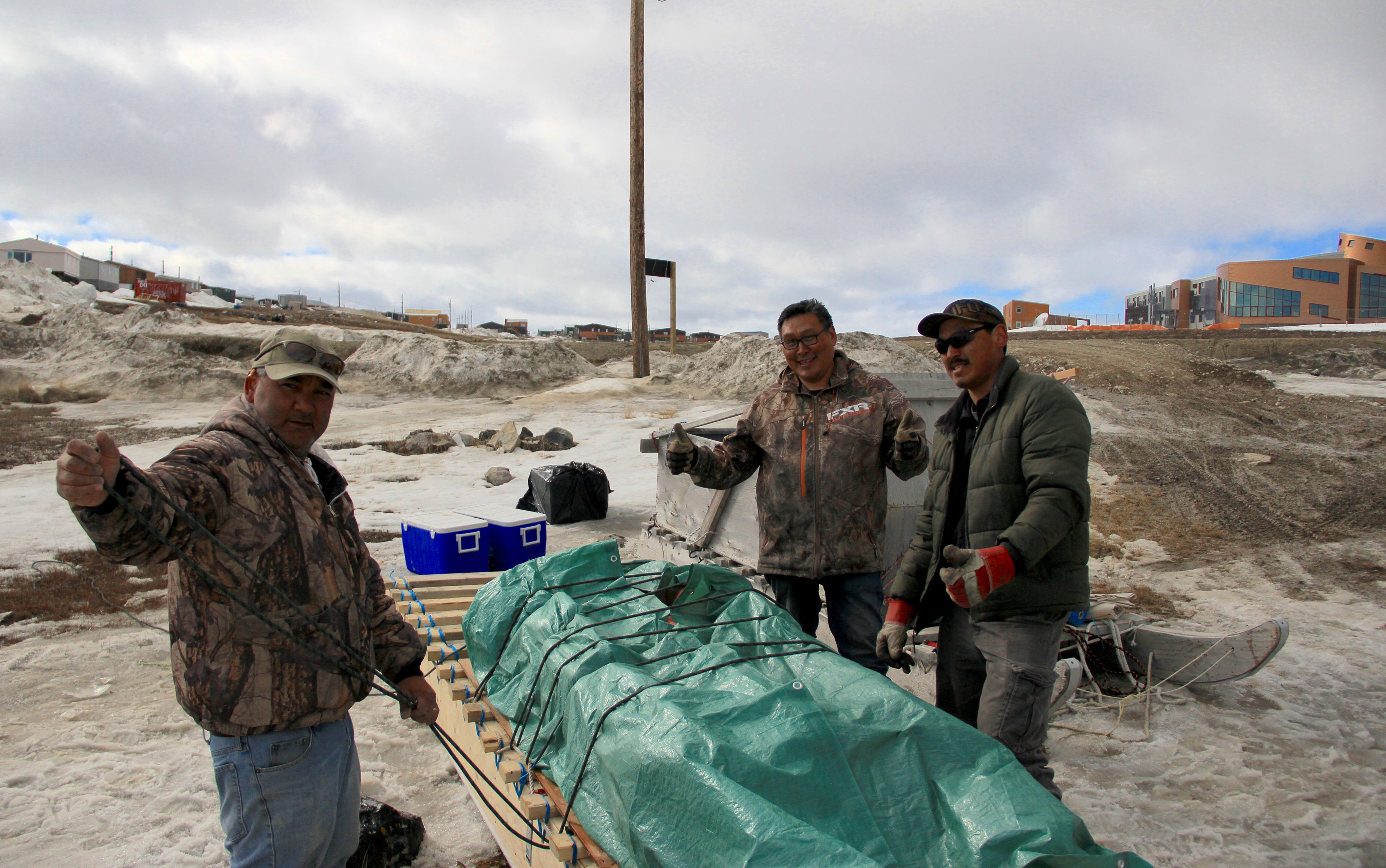
Our convoy of snow machines and qamutiks, weighed down with solar panels, aluminum pipe and radio equipment, headed out from Cambridge Bay, Nunavut at 6 p.m. It was a late start but we had the midnight sun on our side. Following our guide, we wove along the coastline through puddles on top of melting ice and over growing cracks to find safe passage to the site where we’d install the Canadian Arctic’s first remote Automatic Identification System (AIS) transmitter — a technology that tracks the movement of large ships in real time.
Our team was made up of three staff from Nunavut Tunngavik Inc. (NTI), two technologists from the Marine Exchange of Alaska, Trevor Taylor, vice-president of conservation for Oceans North, and myself. We’d traveled to Cambridge Bay in late May 2017 to install this transmitter for NTI’s new Nunavut Inuit Marine Monitoring Program (IMMP), the first of its kind in the Arctic. An Inuit-led initiative, the program aims to collect locally relevant information about shipping activities. That’s done by combining AIS technology with the use of Inuit Marine Monitors who are hired to observe vessel behavior and environmental conditions in areas of interest to communities.
The team travels to install remote ship-tracking station near Cambridge Bay, Nunavut.
Credit: Trevor Taylor
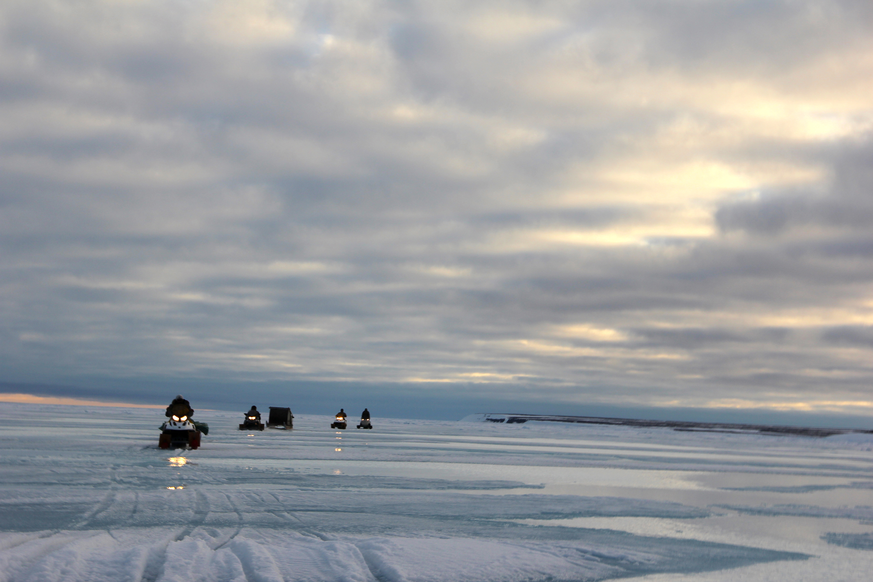
After setting up camp, we got an early start the next morning and traveled east in order to reach the site selected in consultation with the Ekaluktutiak Hunters and Trappers Organization. By early afternoon, we had the aluminum structure and AIS equipment in place and made a successful call to the control centre. The system was online! This was the first of many AIS transmitters that will be installed as part of this program.
Arctic shipping is increasing rapidly and Inuit share common concerns about how this will affect the marine environment and Inuit culture. More vessel traffic could impact sensitive species, habitat, and essential travel routes. Inuit want to be better informed about these risks and become more involved in the management of shipping activities.
By pairing human monitors with AIS technology, the program will collect information on all types of vessels and answer questions like:
What routes are different types of vessels taking?
Are vessels operators respecting wildlife and the environment?
How close are ships to the coastline or other sensitive features?
What role can Inuit play in mitigating potential impacts? How can they benefit from the shipping activities that are increasingly occurring in their backyards?
The International Maritime Organization (IMO) requires large ships on international voyages to use AIS technology to broadcast information about the vessel, its course, speed and destination, among other things. But there are gaps in this data. For example, smaller vessels are not required to use AIS technology and there is no monitoring or information on instances where ships have disturbed wildlife or affected key habitat. The information that NTI’s program collects will be shared directly with Nunavummiut to inform residents about shipping activities and develop policies that include more Inuit involvement in shipping management.
The team installs the first ship-tracking AIS station near Cambridge Bay, Nunavut.
Credit: Trevor Taylor
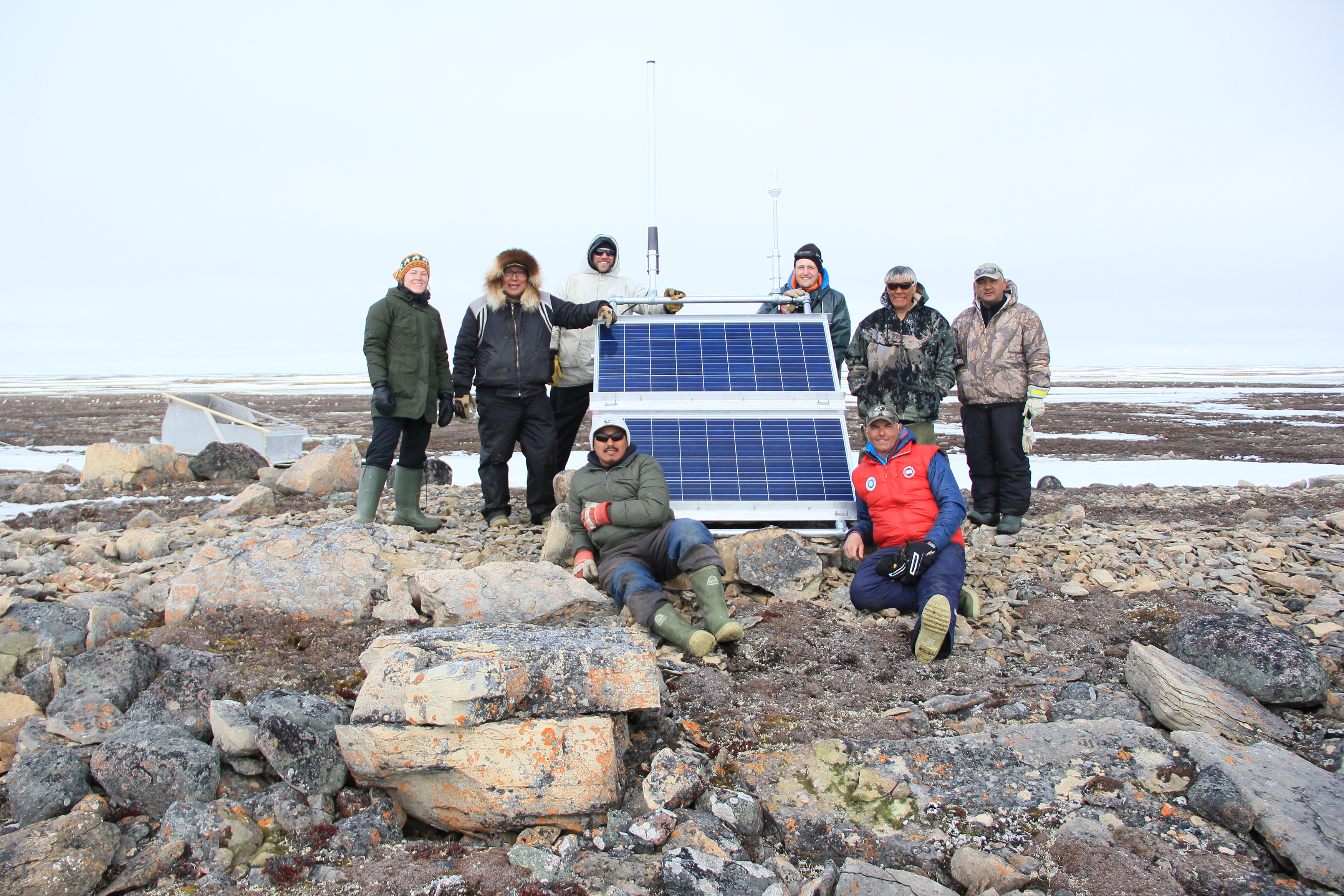
On the way back to Cambridge Bay, the weather turned and an icy headwind made the return trip feel longer than the trip there. Though we were a little tired and cold, the opportunity to be on the land was cherished by everyone on the team. Helping launch this monitoring program is one small way we can work together to protect this special place for the future.
Erin Abou-Assi is a policy adviser for Oceans North.
Related Content
A snapshot of the polynya on May 8, 2024, per NASA Worldview.
Credit: Terra/MODIS
Northern Latitudes: Mapping the North Water Polynya
Credit: Oceans North
New Report Highlights the Seascape at the Heart of Canada
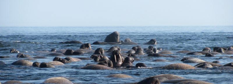
Greenland halibut air drying.
Northern Latitudes: Where Do Greenland Halibut Live in Canada’s Arctic?
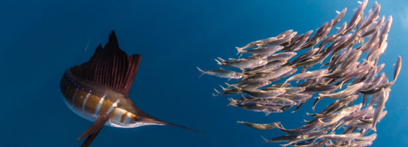
Top predators like the sailfish are disproportionately vulnerable to climate impacts, according to a new study.
Credit: Peter Allinson, MD / Marine Photobank via Wildscreen Exchange