Driving the Arctic’s New Tuktoyaktuk Highway
Late last year, two colleagues and I were among the first people to drive the new Tuktoyaktuk highway that now offers an important year-round link between the Inuvialuit communities of Inuvik and Tuktoyaktuk.
The $300 million road carves its way through nearly 140 kilometres of frozen Arctic tundra and completes the vision of John Diefenbaker, Canada’s 13th prime minster, who decades ago envisioned a federal highway system that would connect the Atlantic, Pacific, and Arctic Oceans.
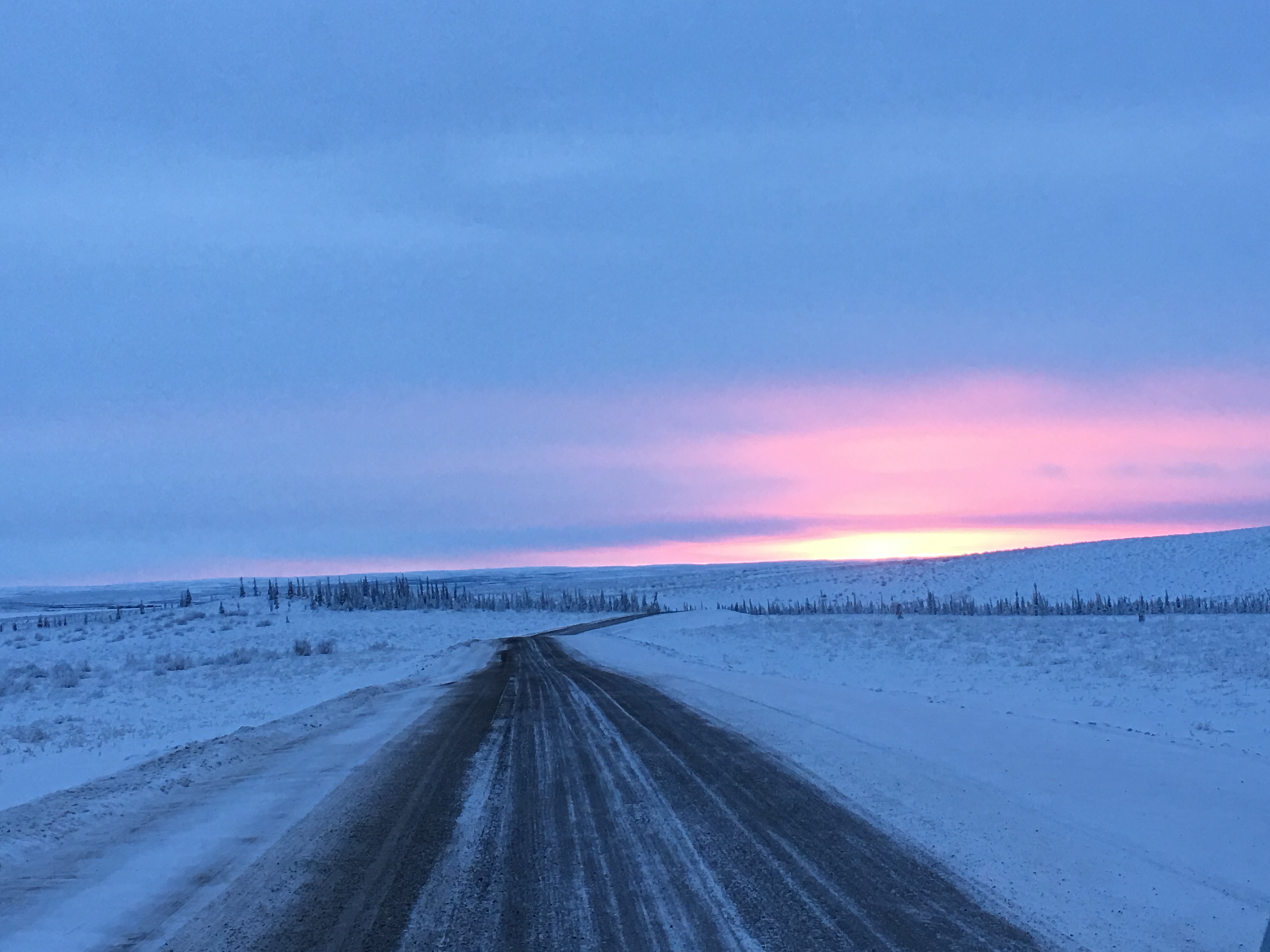
In late 2017, a new Arctic highway linked Inuvik to Tuktoyaktuk, N.W.T. for the first time.
Ilitariyauyuq: Louie Porta
For most of the two-hour drive to Tuktoyaktuk, the Husky Lakes shadow the route to the east. These six lakes, traditionally called Imaryuk, are a brackish (salt water) system that flow into Liverpool Bay. Covering almost 2000 square kilometres, these waterways are known for lake trout that travel to the ocean to feed, herring runs and the occasional beluga whale that swims upstream. Cabins, trails and archeological sites are found along the shoreline, evidence that this region has been used by the Inuvialuit for centuries.
The new highway could have a variety of impacts on life in the western Arctic. A half hour into our drive, we passed Parson’s Lake, one of three major gas fields that were to supply the ill-fated Mackenzie Valley Pipeline. Even though that pipeline is unlikely to be constructed, Inuvik needs a new gas well to power the town and provide an affordable home heating option for residents. The new road creates the possibility that Inuvik will be able to develop its own energy project and stop importing expensive southern petroleum products.
About midway through the trip, we were all surprised to see a man riding a bicycle with snow tires. The temperature was -35 Celsius. I pulled the car over and asked if he wanted a ride. He turned out to be one of the road’s first adventure tourists. Not only did the Mexican visitor not want a ride, he was eager to catch up to his partner who was a few kilometres ahead. As we drove away, I thought, “Does this guy know there are no hotels in Tuktoyaktuk?”
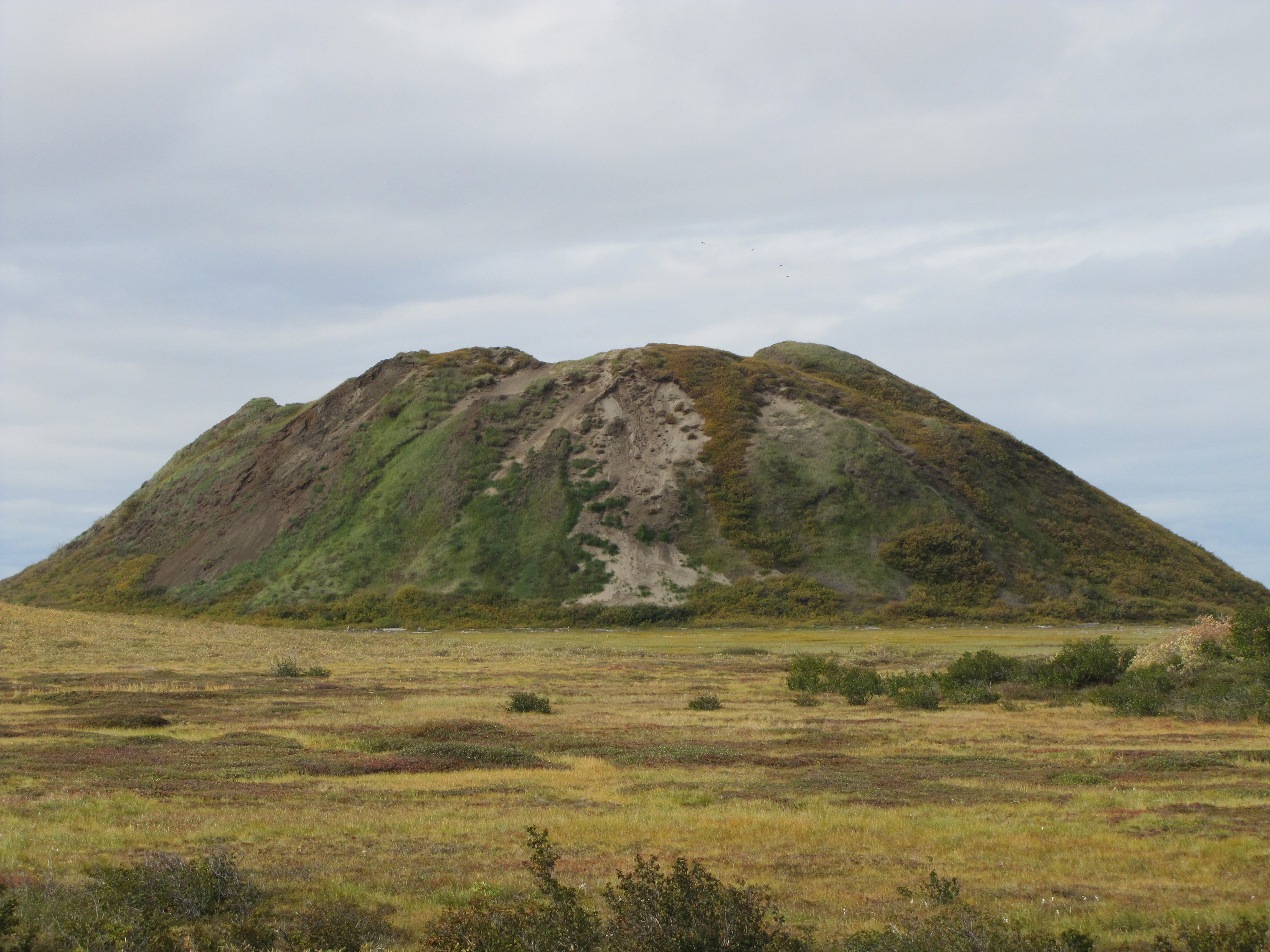
I knew we were getting close to Tuktoyaktuk when I could see pingos in the distance. Pingos are little mountains of ice covered by a thin layer of earth and vegetation. Just south of town is Ibyuk, the world’s largest pingo that rises to the height of a 15-storey building.
The world's largest pingo, a mountain of ice covered by vegetation, rises from the tundra near Tuktoyaktuk, N.W.T.
Ilitariyauyuq: Louie Porta
I also noticed that the Husky Lakes were now less than 100 metres from the road and wondered whether additional fishing would put pressure on that marine system. The lakes are one of the most important harvesting areas for Inuvialuit who also rely on them for travel and cultural activities. In fact, when the Inuvialuit signed their comprehensive land claim agreement with Canada in 1984, the Husky Lakes were the only body of water afforded special management guidelines. When other northern road projects have increased access to waterways, like the Ingraham Trail outside of Yellowknife, N.W.T., local fish stocks have been severely depleted.
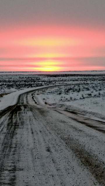
The sun hovers close to the December horizon over new gravel highway to Tuktoyaktuk, N.W.T.
Ilitariyauyuq: Louie Porta
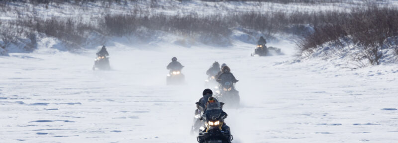
Upon arriving in Tukoyaktuk, the town looked the same – a quiet community of about 900 people living on the edge of the Arctic Ocean. I saw kids playing on the school playground, snow machines and trucks zipping around, and the remnants of oil and gas developments from a generation ago. When I visited the Northern Store to get provisions for the trip back to Inuvik, I noticed that food prices were not as expensive as they used to be before the road was completed.
Now that the highway is open, I wonder what its legacy will be. Will it bring down the cost of living? Will it create new access to the Husky Lakes fishery? Will tourists from around the world use it as an adventure tourism corridor? Will the road make it cost effective to drill a new gas well for the town of Inuvik? Will it bring much needed economic investment and jobs? My hope is that it will make life better for the Inuvialuit and other northern residents who call the region home.
Louie Porta is vice-president of operations and projects for Oceans North.

